TECH
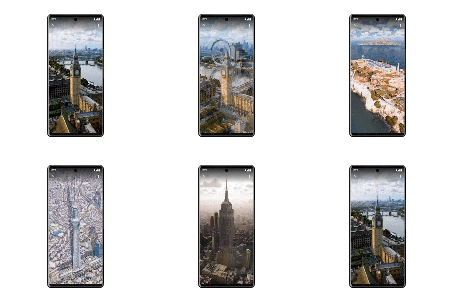
Google is ready to add a "photorealistic bird's eye view" to nearly 100 locations in its maps service. According to the tech giant, the new functionality will allow for in-depth tours of many of the world's major cities, including New York, London, Barcelona, San Francisco and Tokyo.
The emergence of the ability to look at objects from above is not analogous to satellite maps and will be a harbinger of a more sophisticated feature that offers a breathtaking view with breathtaking views of attractions and a ton of additional information including weather data, traffic and even even interior interiors - Google announced the implementation at the Google I/O event.
The latest feature is due to launch in Los Angeles, London, New York, San Francisco and Tokyo "later this year", while a simpler aerial view assessment is on the way. As it will be in reality, Google has offered to see the GIF image.
In addition to the top view, other new features will be added to Google Maps. For example, you will be able to find out if this or that path is the main one, if there are steps or a steep slope in the path, and if you are likely to enter a high-traffic area. In addition, if someone voluntarily shares their location, it will be possible to receive notifications when the user arrives or leaves a certain location.
According to a Google spokesperson, the ability to view the top view and receive location notifications is already rolling out to Android and iOS. Access to up-to-date information for cyclists will also begin to appear in the coming weeks.
mundophone




No comments:
Post a Comment