TECH
Back in September, Google Maps announced the live view feature. It's a live view search that lets you explore your surroundings more intuitively. It uses artificial intelligence (AI), billions of Street View images and augmented reality (AR). Starting next week, this visual search will roll out in London, Los Angeles, New York, Paris, San Francisco and Tokyo pre-platform Android to iOS.
How it works? You take your smartphone and click on the camera icon in the search bar. Afterwards, you see stores, cafes, banks, ATMs and other objects on the screen in a virtual way with directions and arrows in augmented reality (AR). You can also see places that aren't in your immediate line of sight (like the clothing store down the block).(image above)
To find more locations, click on the different location categories and explore the nearby restaurants, bars, patisseries, parks and public transport stations. Plus, you can see key information about each location – such as whether it's open or not, whether it's full, what the prices are, and whether it's been rated positively by the Google Maps community.
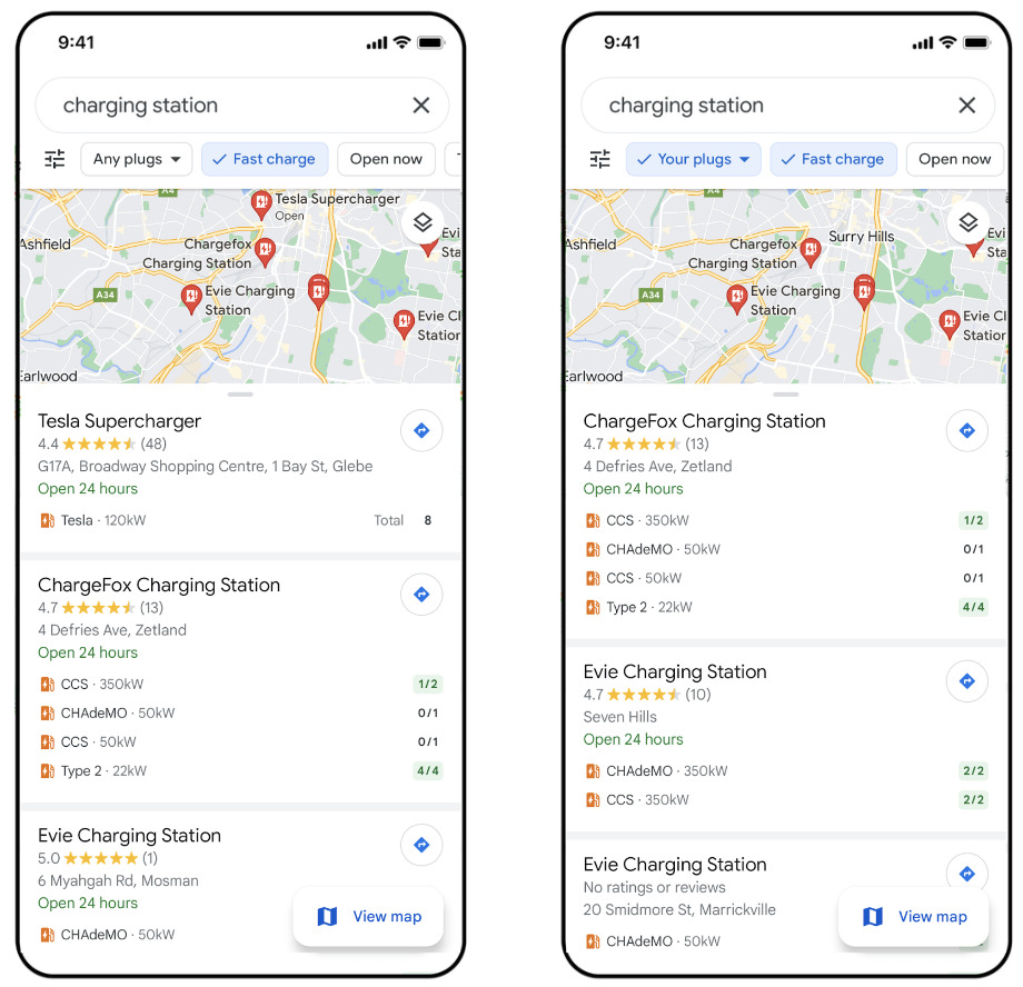
Find the best charging station for your electric car...If you have an electric car, you may already be using Google Maps to find charging stations and get information about chargers in your area. After the update, it will now be even easier to find the best charging station for your car. When searching for “EV charging stations” and selecting the “fast charging” filter, stations with 50kW or more chargers will be displayed so you can charge faster.
Google Maps will show you accessible places around the world...In 2020, Google Maps launched a feature in Australia, Japan, the UK and the US to help people find out if a destination is accessible. After the latest update, it should be available globally for all countries on Android and iOS platforms. Just enable “Accessible places” in Settings and you will see a wheelchair icon on your profile if the place is wheelchair accessible.
mundophone


No comments:
Post a Comment